South Llano River · Junction
Fog on the river, and how to read the forecast
The clear, calm nights that make the best stargazing around Junction are the same nights that fill the river valleys with fog. A few numbers in the forecast tell you which you will get.
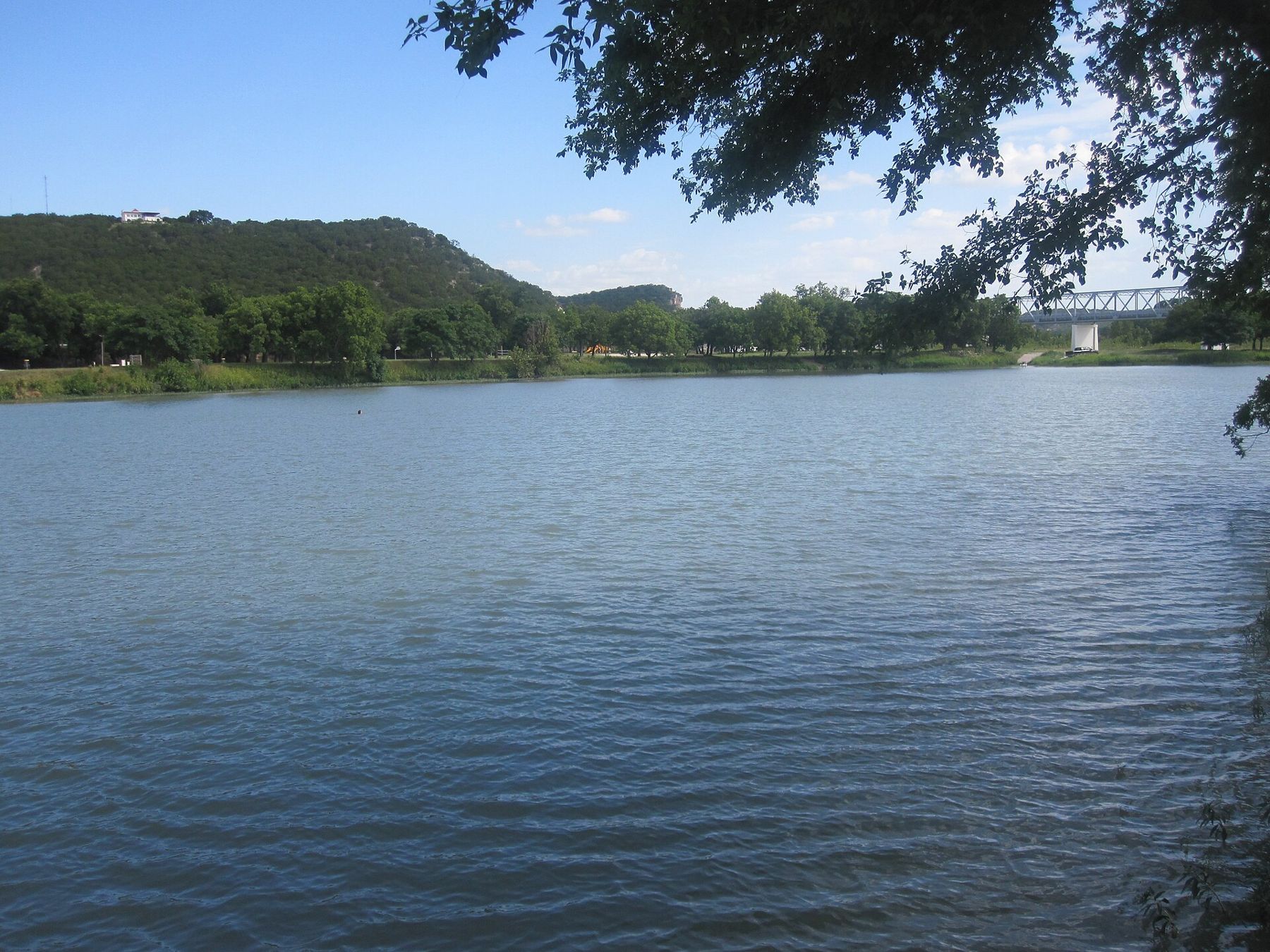
Junction sits where the North and South Llano rivers meet, in a valley ringed by limestone hills. On many clear winter mornings, a grey blanket lies along the river and lifts only when the sun has warmed the air. That same fog can arrive long before dawn, and it can end a night under the stars without warning.
The good news is that fog is not random. It follows simple rules, and the numbers that predict it are in an ordinary hourly forecast.
Where the rivers meet, the mist gathers
River valleys make fog for two reasons. First, the water adds moisture to the air just above it. Second, cold air is heavy. On a still night, air cooled by the ground slides downhill and pools in the lowest places, which here means the river bottoms around Junction and the pecan flats in South Llano River State Park. The coldest, dampest air in the region ends up exactly where the rivers run.
The Llano carries this pattern east as it winds toward the town of Llano and on toward the Highland Lakes. Low crossings, river parks and the stretches of road that dip down to the water are the first places to fog and the last to clear.
The number that matters: dew point spread
The dew point is the temperature at which the air becomes saturated. Cool air below it and the moisture has to condense, as dew on surfaces or as fog in the air itself. The gap between the air temperature and the dew point is called the spread, and it is the most useful number in the forecast for anyone heading out at night.
- A spread of twenty degrees or more at sunset means dry air. Dew is unlikely, and fog almost impossible.
- A spread of ten degrees or so means watch the trend. On a calm, clear night the temperature can fall that far before dawn.
- A spread of only a few degrees at sunset, with calm air and clear skies, means fog or heavy dew is likely, often by midnight.
Look at the hourly forecast rather than the daily one. If the predicted temperature drops to meet the predicted dew point, the hour they meet is roughly when trouble begins. Valley floors run colder than the forecast point, so expect it earlier down by the water.
TX-4 · South Llano RiverSetting up a small telescope on the river flatsCalm, clear and long: the recipe for valley fog
The fog that troubles stargazers most is radiation fog. It forms when the ground loses heat to a clear sky, cools the air just above it, and brings that air down to its dew point. Three conditions feed it.
Clear skies let the ground lose heat quickly. That is the irony: the very sky you came to see is what makes the fog. Calm air lets the coldest layer settle undisturbed; even a light breeze mixes it with drier air above and often keeps fog away. Long nights give the ground more hours to cool, which is why radiation fog is most common from autumn through early spring.
Radiation fog is usually shallow. It can be thick enough to hide a car on the road and yet only a few dozen feet deep, with a starry sky above it.
When the Gulf sends its moisture
Not all of the damp comes from the river. When winds blow from the south and southeast, they carry humid air up from the Gulf of Mexico, and overnight that moisture often turns into a sheet of low cloud that spreads northwest across the Hill Country. It can arrive after dark on a night that began perfectly clear, and from the ground it looks no different from fog that has lifted.
Watch the wind direction and the dew point together. A dew point climbing through the evening on a southerly wind is a warning. A dew point falling sharply on a north or northwest wind is the opposite. The best nights in this country usually follow a cold front: dry northern air, a wide spread, and a sky scrubbed clean of haze.
Reading a forecast like an observer
An ordinary forecast tells you whether it will rain. For a night under the stars, you want more detail, and most of it is in the hourly forecast graphs that the National Weather Service publishes for any point you choose.
- Cloud cover by the hour, and if you can find it, split into low, middle and high cloud. Thin high cloud dims the sky; low cloud ends the night.
- Temperature and dew point by the hour, to see when the spread closes.
- Wind speed. A light, steady breeze keeps fog away; dead calm invites it.
- Relative humidity near or above ninety percent late at night is a strong hint of fog or heavy dew.
Dedicated astronomy forecasts in general add transparency and seeing, which describe how clear and how steady the sky will be. They are useful, but none of them knows your river bottom as well as the dew point spread does.
Climbing out of it
If the fog comes anyway, go up. Even a modest rise can lift you out of a shallow layer, and from the overlooks above the river at South Llano River State Park, where open after dark, you may look down on a white sea while the stars blaze overhead. The same thing happens on a larger scale in the mountains of West Texas, where altitude matters more than you'd think.
Fog on the roads is the real hazard. Interstate 10 and the smaller roads that cross the rivers can drop into thick patches without warning. Slow down, use low beams, and leave a long gap to the car ahead. On a cold night, fog can also freeze onto bridges and shaded curves.
And if a night is lost, it is lost. Pack the telescope away dry, and plan around the next front. The winter sky over the quiet season of the turkey roost comes around again soon enough.